GPS data collection in forest environments presents a unique challenge. Dense tree canopy, rugged terrain and variable weather conditions can significantly affect the accuracy of your surveys. After years of supporting Quebec's forestry professionals, our team has identified five essential practices that make all the difference in the field.
1. Properly configure GNSS settings
The first step, often overlooked, is to ensure your GPS receiver is configured to use all available satellite constellations: GPS, GLONASS, Galileo and BeiDou. In the forest, the more satellites you can pick up, the better your accuracy will be. Also set the elevation mask to a minimum of 15 degrees to avoid low-angle signals that are more affected by the canopy. In very dense stands, a 20-degree mask may even be preferable.
2. Plan collection based on canopy conditions
Forest canopy has a direct impact on satellite signal reception. Plan your collection outings based on satellite geometry: use an almanac to identify windows when PDOP (Position Dilution of Precision) is at its lowest. Favour periods when satellites are well distributed across the sky. In winter, the loss of deciduous foliage significantly improves reception — it is the ideal time for high-precision surveys in mixed stands.
3. Use SBAS corrections
The SBAS (Satellite-Based Augmentation System), known as WAAS in North America, provides real-time corrections that improve your position accuracy. Make sure this option is enabled in your receiver settings. In the forest, SBAS corrections can reduce positioning error by 3 to 5 metres, going from 5-10 metre accuracy to 1-3 metres depending on conditions. Regularly check that your device is receiving the SBAS satellite signal — it can be intermittent under dense canopy.
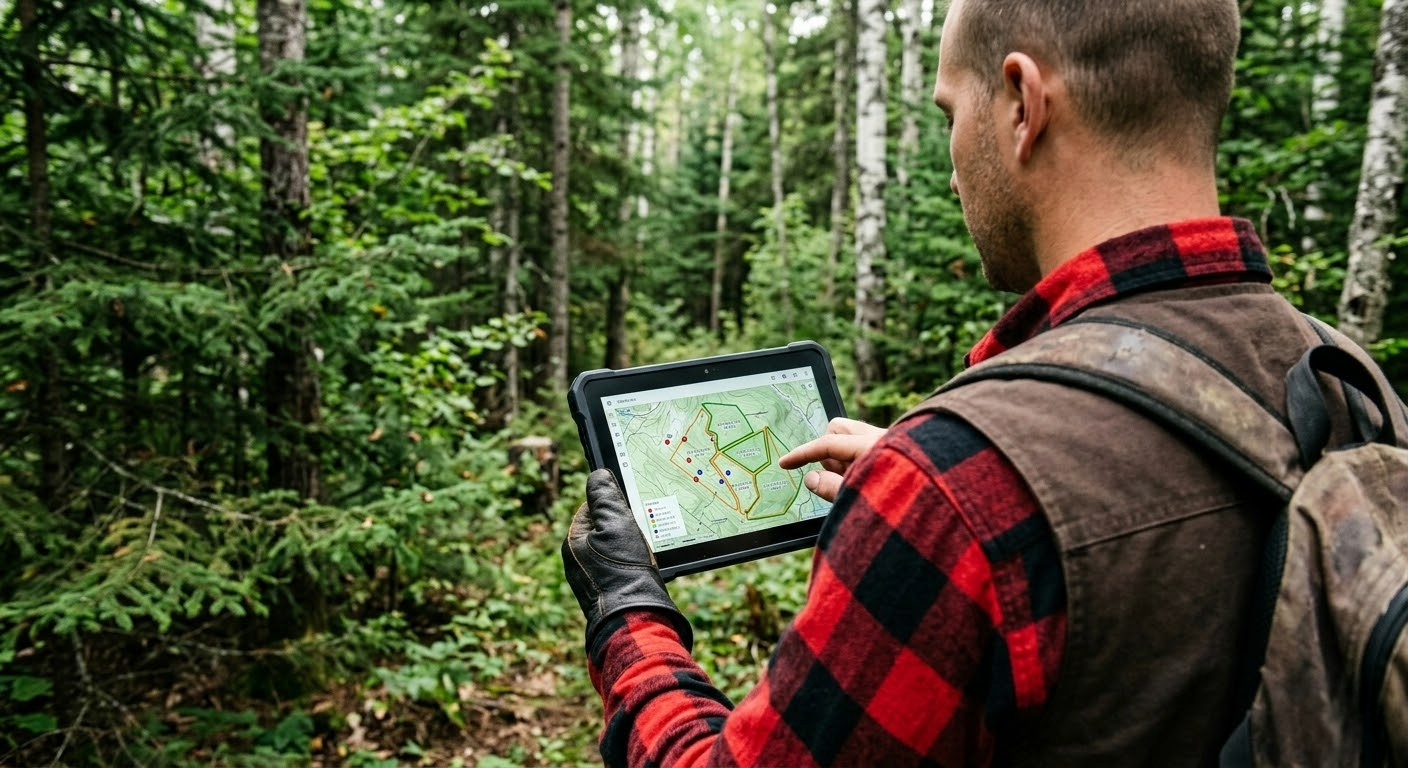
4. Position the antenna correctly
GPS antenna position is crucial in forest environments. Always hold your device or range pole vertically, with the antenna facing the sky and away from your body. Avoid standing directly under the densest branches; moving one or two metres can sometimes make a significant difference. For important point surveys, take the time to average the position for at least 30 seconds — ideally 60 seconds — to smooth out fluctuations caused by multipath (signal reflection off trunks and foliage).
5. Post-processing and data validation
Even with the best field practices, rigorous post-processing is essential. Systematically check the metadata for each point: number of satellites, PDOP, type of correction applied. Identify and flag points with questionable quality. Compare your data with known references (survey markers, control points) when possible. The validation tools built into MobileLogix greatly facilitate this step by automatically flagging anomalies.
Conclusion
The quality of your GPS data in the forest depends as much on your equipment as on your work methods. By consistently applying these five best practices, you will significantly improve the reliability of your surveys while reducing the time spent correcting errors after the fact. Our team is available to help you optimize your collection processes — feel free to contact us for a personalized consultation.