Powerful plugins for ArcGIS Pro, QGIS and ArcMap that simplify your daily forestry work.
Request a Free DemoNo matter which GIS tool you use, SIGLogix integrates right in. No need to change your workflow.
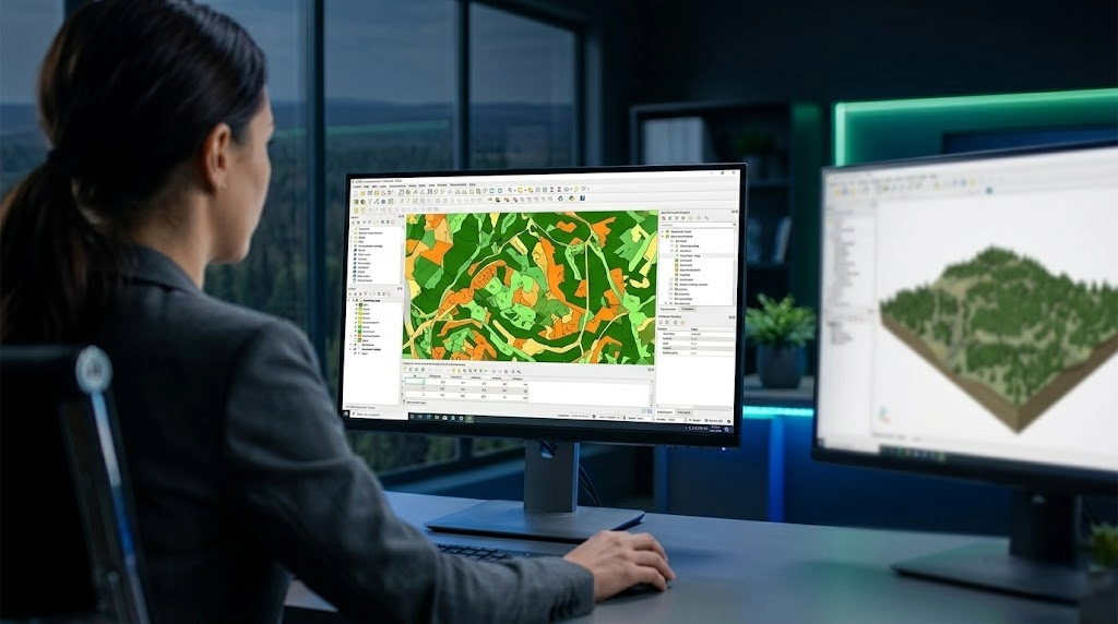
For ArcGIS Pro users. Access all SIGLogix tools directly within your Esri environment, without leaving your usual workflow. Modern interface and quick-access toolbar included.
For QGIS users. Get the full power of SIGLogix on the most popular open-source platform in forestry. All the features, with no additional GIS license fees.
For ArcMap users. Haven't migrated to ArcGIS Pro yet? No problem. Keep working with your current tools while benefiting from SIGLogix features.
Real, tangible benefits for your geomatics team from day one.
No more digging through complex menus. A quick-access toolbar puts your most common operations one click away. Your geomatics team saves time on every task, every day.
Create offline map packages your field crews can use right in the forest, with no internet connection required. The data they need, where they need it.
Publish your forest maps to the web so your entire team sees the same up-to-date data. Contractors, subcontractors and managers all work from the same information.
Generate survey plans, intervention data and ministry-compliant reports automatically. Less manual entry, fewer errors, and more peace of mind.
Drop a point on the map and let SIGLogix do the rest. Watershed analysis, precipitation data and the right culvert diameter recommendation are all calculated automatically.
Send your maps directly to your field team's GPS devices. No complicated transfers, no extra software. From the office to the GPS in a few clicks.
SIGLogix is not a generic GIS tool. It is a suite of plugins designed and developed specifically for the realities of forestry in Quebec. MRNF standards are built right into the tools: survey plans with automatic plot count calculations, compliant systematic grids, intervention data generation with all required layers and built-in validation.
The interface is fully bilingual (French and English) and offers 4 visual themes for optimal daily comfort. Your geomatics team can also analyze harvest data from the major harvester brands used in Quebec.
| Feature | ArcGIS Pro | QGIS | ArcMap |
|---|---|---|---|
| Quick-access toolbar | ✓ | ✓ | ✓ |
| Offline maps | ✓ | ✓ | ✓ |
| Web publishing | ✓ | ✓ | ✓ |
| MRNF compliance | ✓ | ✓ | ✓ |
| Culvert sizing | ✓ | ✓ | — |
| Garmin GPS export | ✓ | ✓ | ✓ |
| Harvest data analysis | ✓ | ✓ | — |
| Bilingual FR/EN interface | ✓ | ✓ | ✓ |
Forestry companies across Quebec use SIGLogix every day to simplify their geomatics work.
« Since we started using SIGLogix, our geomatics team spends less time navigating menus and more time producing quality maps. MRNF compliance practically takes care of itself. »
— Conseillers Forestiers de la région de Québec
Request a free demo and see how SIGLogix can simplify your geomatics team's daily workflow.
Contact Us Request a Demo