ForestLogix reaches an important milestone by now integrating official cartographic data from the Quebec government directly into its work environment. This opening to public data allows forestry professionals to access a wealth of geospatial information without ever leaving their work software, considerably simplifying the planning and monitoring of forestry operations.
WMTS layers from the Quebec government
ForestLogix now supports WMTS (Web Map Tile Service) layers from Quebec government cartographic servers. You can overlay high-resolution orthophotos, forest stand layers, management unit boundaries and many other official data sets directly on your working maps. The integration is seamless: tiles are loaded dynamically based on the viewed area and zoom level, providing a smooth experience even with large datasets. This is a considerable advantage for field validation and intervention planning.
Improved WFS support with custom styles
WFS (Web Feature Service) support has been considerably improved in this update. Users can now apply custom styles to imported vector layers: dashed polygons, outlines without fill, colors adjustable by attributes. These styling options allow for much clearer map reading when multiple layers are overlaid, avoiding the visual clutter that sometimes made data interpretation difficult. Each layer type can have its own distinctive style for quick identification.
Simplified WMS selection and offline maps
The WMS (Web Map Service) layer selection interface has been completely redesigned to be more intuitive. A new navigation panel allows you to quickly browse available layers, preview their content and add them in just a few clicks. But the real breakthrough lies in the ability to download WMS layers for offline use. Once downloaded, these maps remain accessible without any network connection — a major asset for teams working in remote areas where cellular coverage is non-existent.
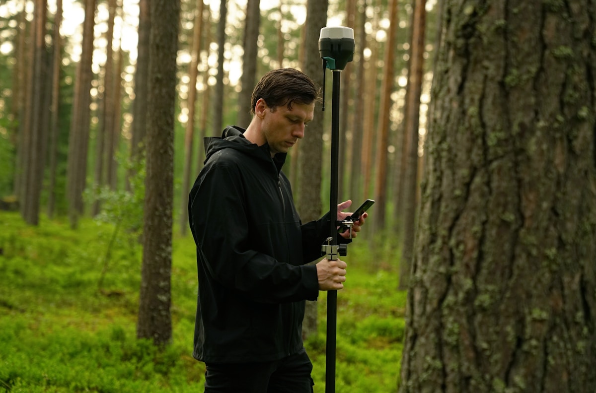
External form import and configurable dashboard
ForestLogix opens its doors to existing data collection ecosystems by allowing the import of external forms. Forms created with Fulcrum, ArcGIS Survey123 or in XLSForm format can be imported and reused directly in ForestLogix. This compatibility eliminates the need to recreate your collection forms and facilitates the transition to our platform. Additionally, a new configurable dashboard by form type provides tailored tracking of your data, with indicators and visualizations adapted to each collection context.
Improved harvester head data visualization
The visualization of data from harvester heads has been enhanced through the integration of a high-performance PivotGrid component. This pivot table allows for quick analysis of harvested volumes across multiple dimensions: by species, by cutting block, by period, by operator or any other relevant combination. Data can be filtered, sorted and exported in just a few clicks, providing an unmatched overview of harvesting operation performance. It is a powerful tool for foremen and managers who need to make informed decisions quickly.
These new features are included in the latest version of ForestLogix. To discover how to get the most out of government data in your workflow, feel free to contact our team.